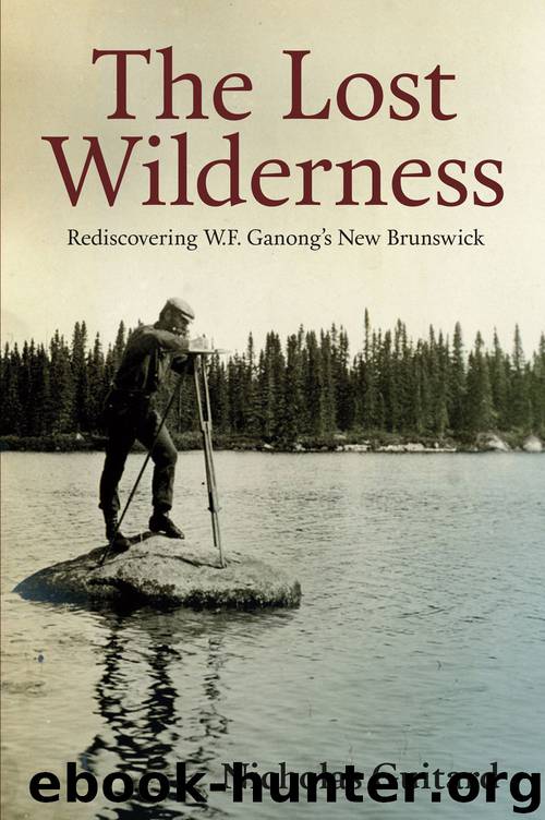
The Lost Wilderness by Nicholas Guitard

Author:Nicholas Guitard
Language: eng
Format: epub
Tags: Canadian Non‐Fiction, Canadian Author, Naturalist, Nature, Geography, William Francis Ganong, New Brunswick, History, Maps, Mapping, Cartography
Publisher: Goose Lane Editions
Published: 2015-02-21T16:00:00+00:00
W.F. Ganong’s 1906 map of the Lower North Branch of the Little Southwest Miramichi (PANB-MC1799)
July 17 up shortly after 4, started at 6 for Freeze Lake and in short time came upon it — a low, boggy collection of water from innumerable spring holes oozing out warmish water. A great moose place judging by tracks — we came to the Lake in fact on a fine trail. Now 8 A.M., we have circled about 2/3 about the place.…This is the lake of which G. said encouragingly, “It’s something to reach the most inaccessible Lake in N.B.” But what a lake!! 6
Hiking east from Freeze Lake along the Kagoot Stream, the pair eventually crossed the headwaters of the South Branch Nepisiguit River, where even Ganong seemed to become lost. Without the aid of reliable information or survey lines, they found themselves unsure which stream they should follow to reach their next destination at Big Bald Mountain. The wetlands and barrens that formed the headwaters of several different watersheds made it easy to become disoriented. At the end of one obviously exhausting and confusing day, an exhausted Pierce summed up his feelings, writing: “Heart has been jumping. Wish I had a pipe and wonder why in thunder I ever came.”7 Ganong’s dogged perseverance and unflagging optimism eventually led them to the base of Big Bald Mountain, where he yet again immediately headed for the summit to determine the best approach to the headwaters of the North Branch Big Sevogle. Pierce set up camp beside the South Branch Nepisiguit River where, despite the blackflies, he enjoyed the singing of the hermit thrushes and robins. Ganong returned to camp with enough extra energy that, after supper, Pierce recorded: “G. went down and got a string of 13 trout.”8
Following a compass bearing for the North Branch Big Sevogle River, Pierce and Ganong headed east out of the Nepisiguit watershed. They hiked along game trails around Big Bald Mountain until they reached the headwaters of the Sevogle watershed just beyond Moose Lake. Ganong described what they saw:
The North Branch of Sevogle rises on the easterly slope of the Kagoot, or Big Bald plateau, very near to a principal source of the South Branch. [It] is at first a very sluggish dark-colored stream of alternating deadwater and boulder rips, in slope and current.9
They followed a promising lumber road, only to realize after a considerable distance that it was leading them away from their intended direction. This error forced them to use a compass and struggle through heavy woods to get back to the Sevogle. Although hiking along the river’s edge was tiring, it proved enjoyable for its scenery and cooler air.
Download
This site does not store any files on its server. We only index and link to content provided by other sites. Please contact the content providers to delete copyright contents if any and email us, we'll remove relevant links or contents immediately.
The Lonely City by Olivia Laing(4122)
Animal Frequency by Melissa Alvarez(3757)
All Creatures Great and Small by James Herriot(3521)
Walking by Henry David Thoreau(3236)
Exit West by Mohsin Hamid(3191)
Origin Story: A Big History of Everything by David Christian(3141)
COSMOS by Carl Sagan(2955)
How to Read Water: Clues and Patterns from Puddles to the Sea (Natural Navigation) by Tristan Gooley(2866)
Hedgerow by John Wright(2780)
The Inner Life of Animals by Peter Wohlleben(2774)
Origin Story by David Christian(2687)
How to Read Nature by Tristan Gooley(2668)
Project Animal Farm: An Accidental Journey into the Secret World of Farming and the Truth About Our Food by Sonia Faruqi(2667)
How to Do Nothing by Jenny Odell(2647)
A Forest Journey by John Perlin(2588)
Water by Ian Miller(2588)
The Plant Messiah by Carlos Magdalena(2458)
A Wilder Time by William E. Glassley(2366)
Forests: A Very Short Introduction by Jaboury Ghazoul(2336)
